
 Science Gallery Bengaluru
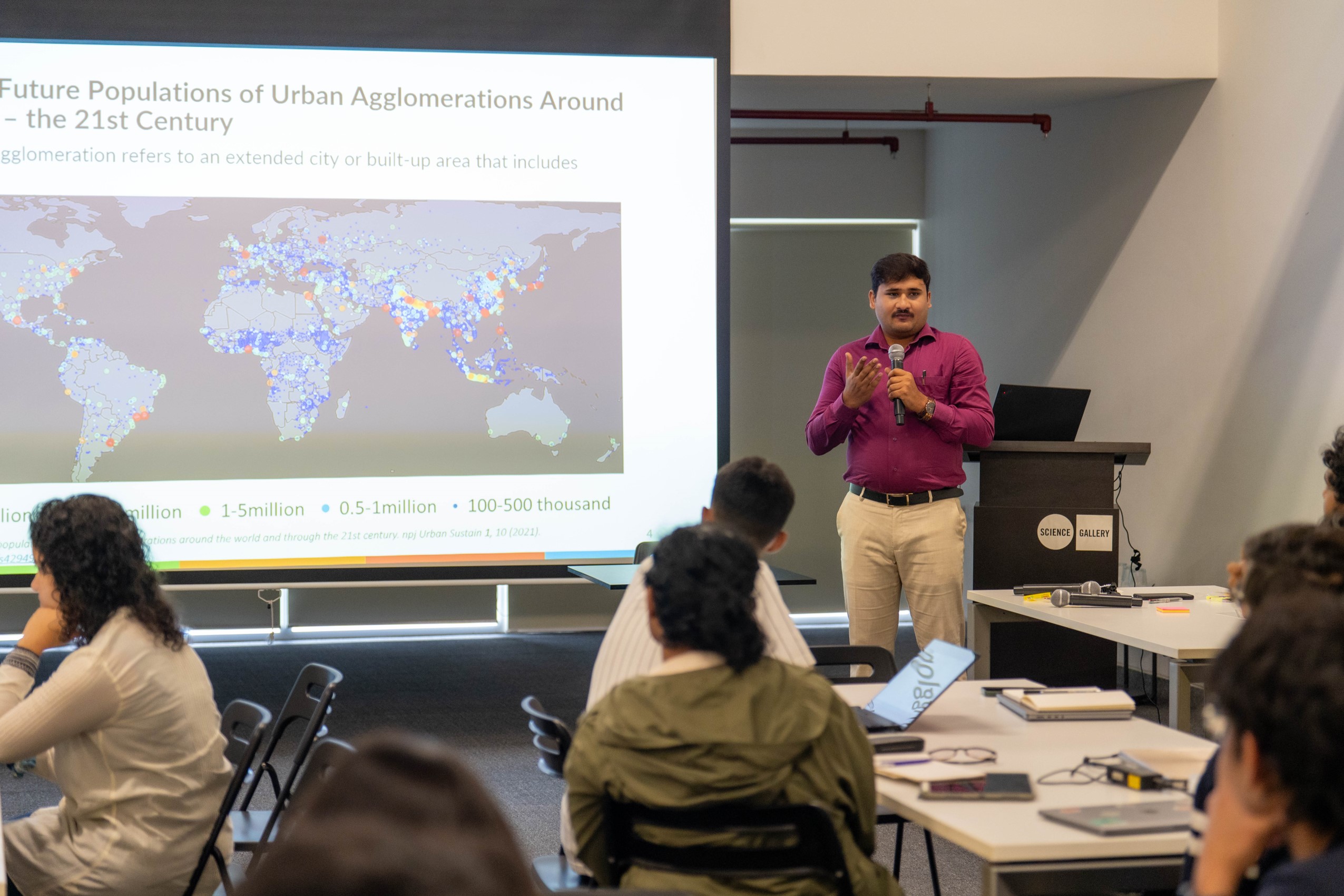
As urbanisation accelerates in India, cities face a growing array of climate-related and socio-environmental issues, including urban flooding, the urban heat island effect, and pressure on infrastructure systems such as public transport. Building resilient cities requires data-driven insights into urban systems and their vulnerabilities. Addressing these challenges requires a robust understanding of the underlying environmental drivers. Geospatial technologies have emerged as essential tools for monitoring, analysing, and visualising urban and climate dynamics. Remote sensing and open-source platforms now offer access to a wide range of essential climate variables, enabling comprehensive assessments of urban resilience and sustainability.
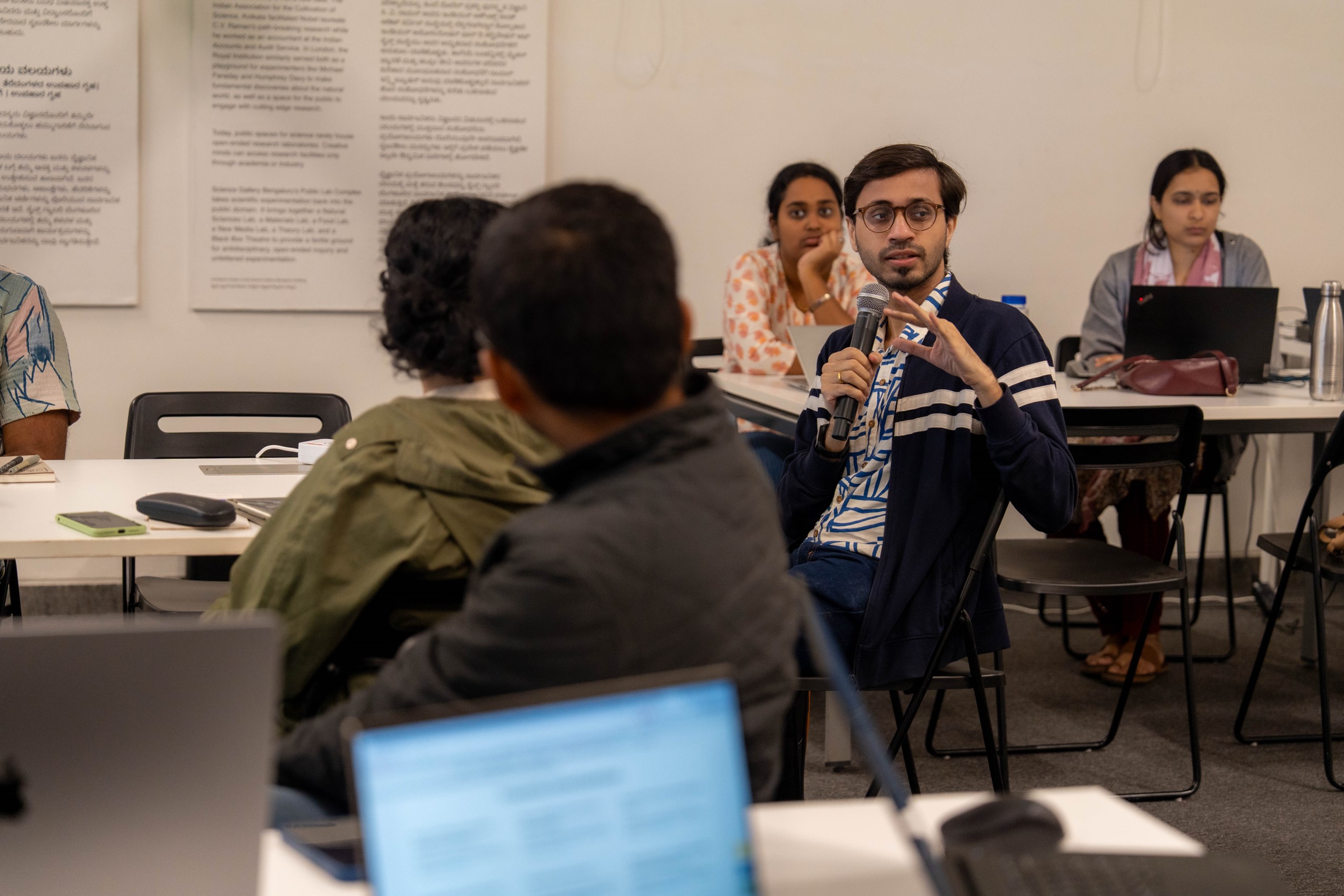
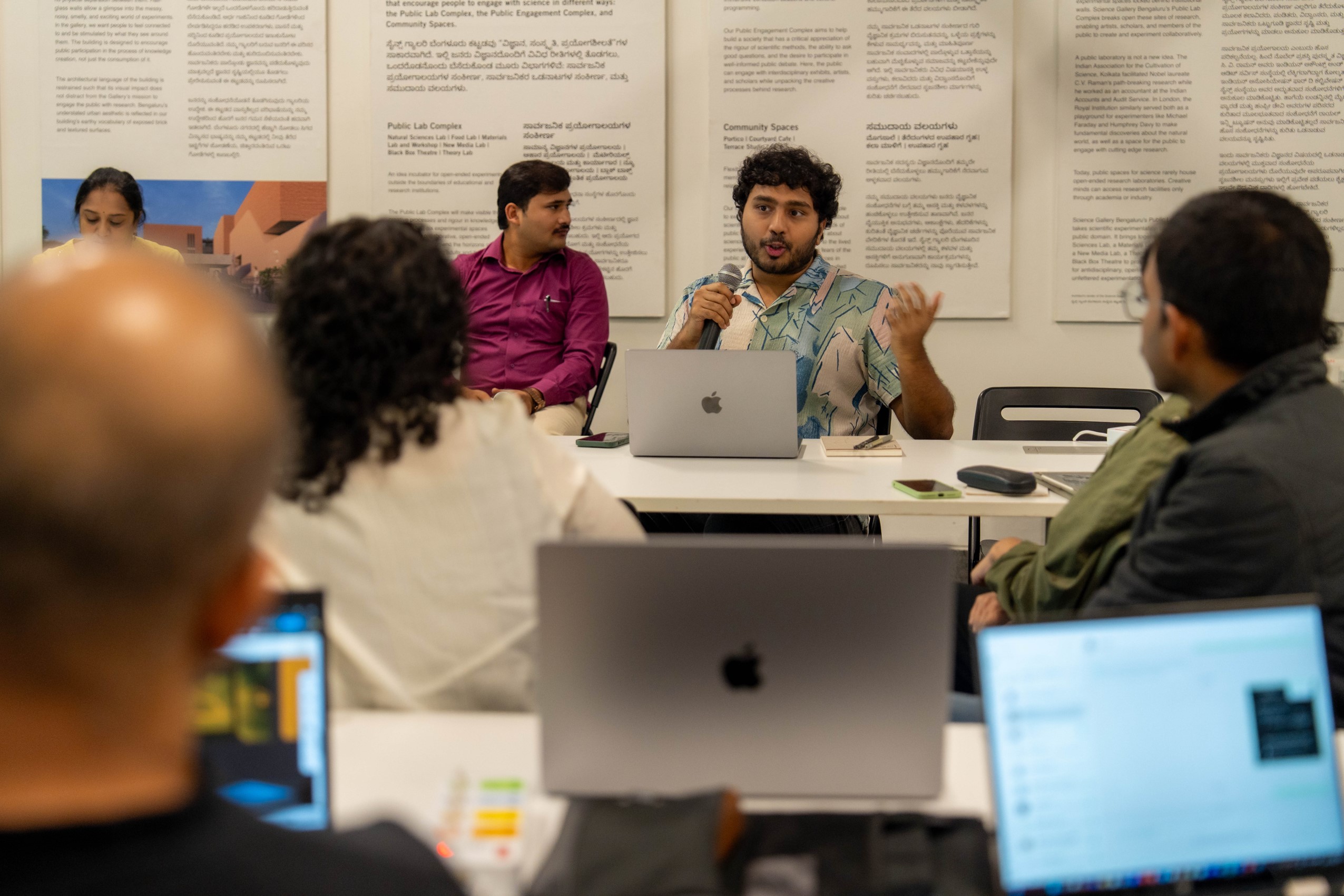
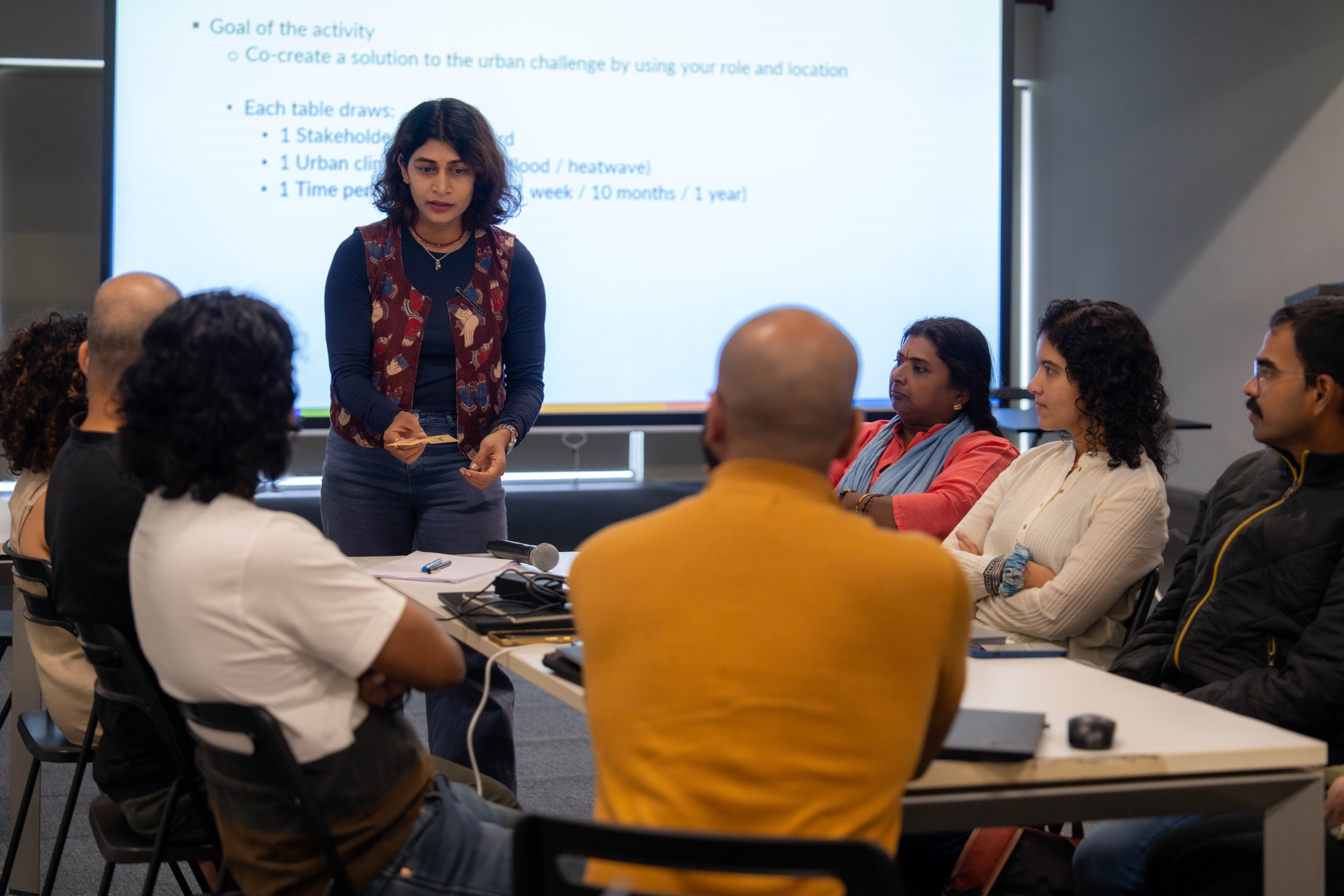
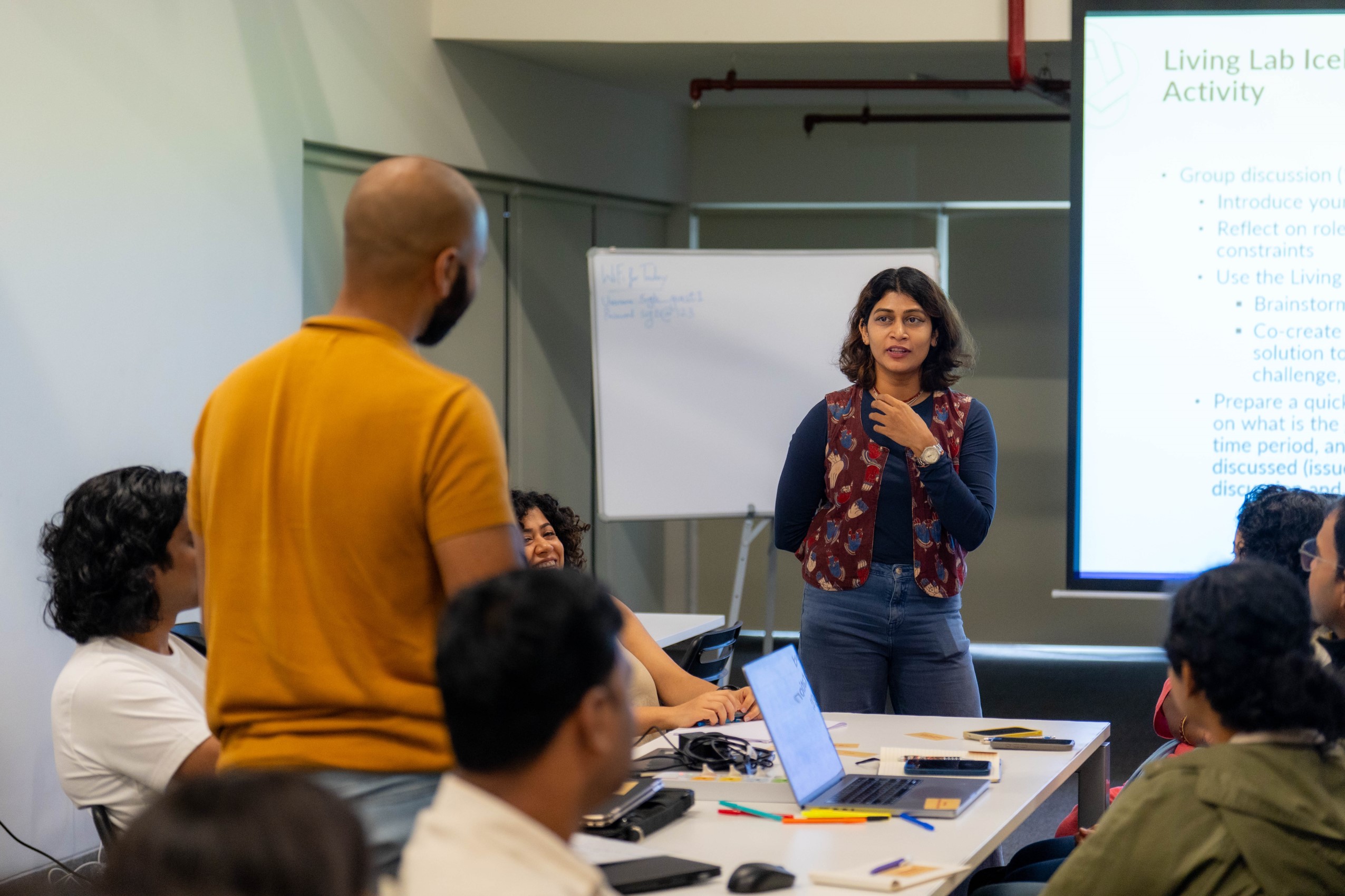
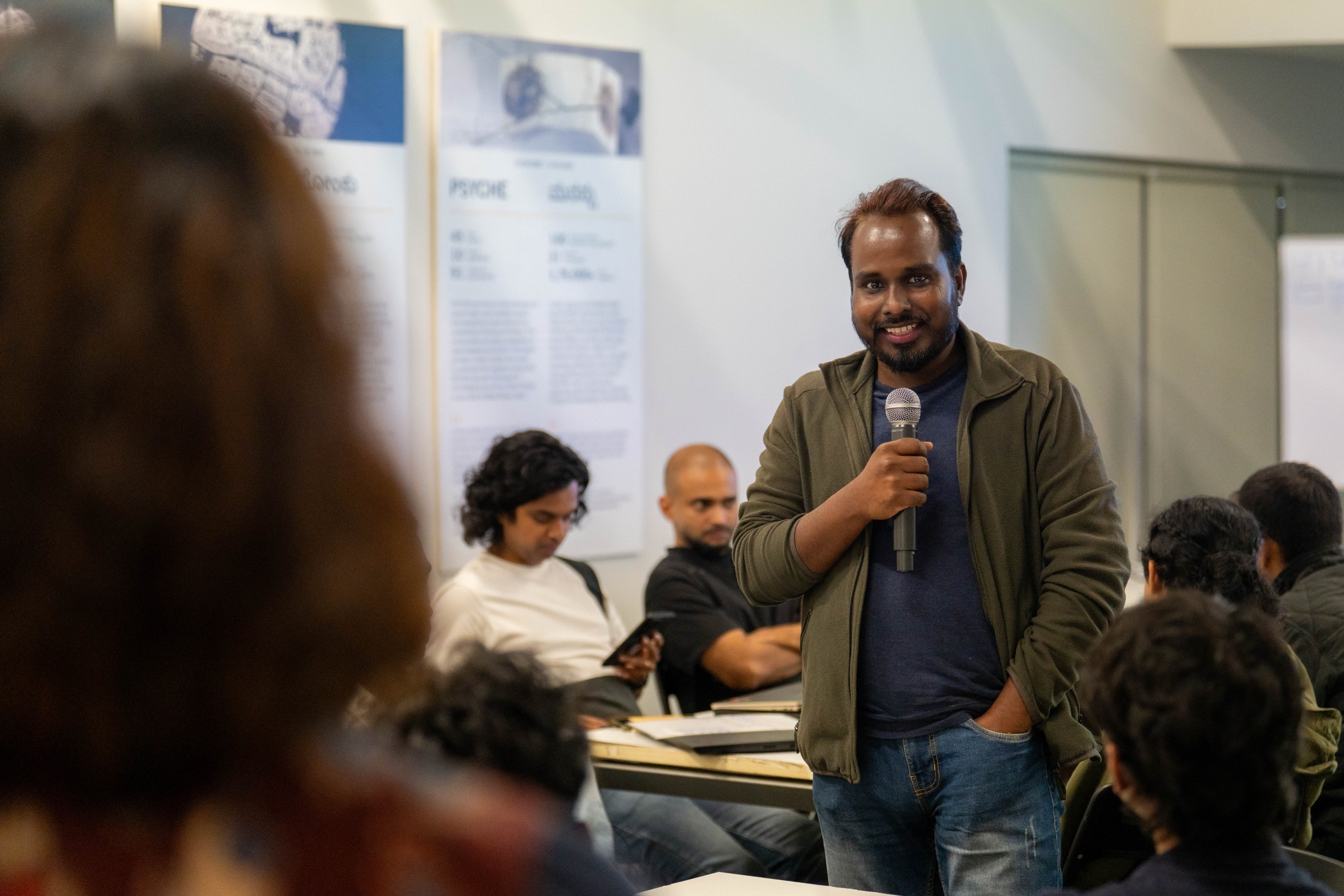
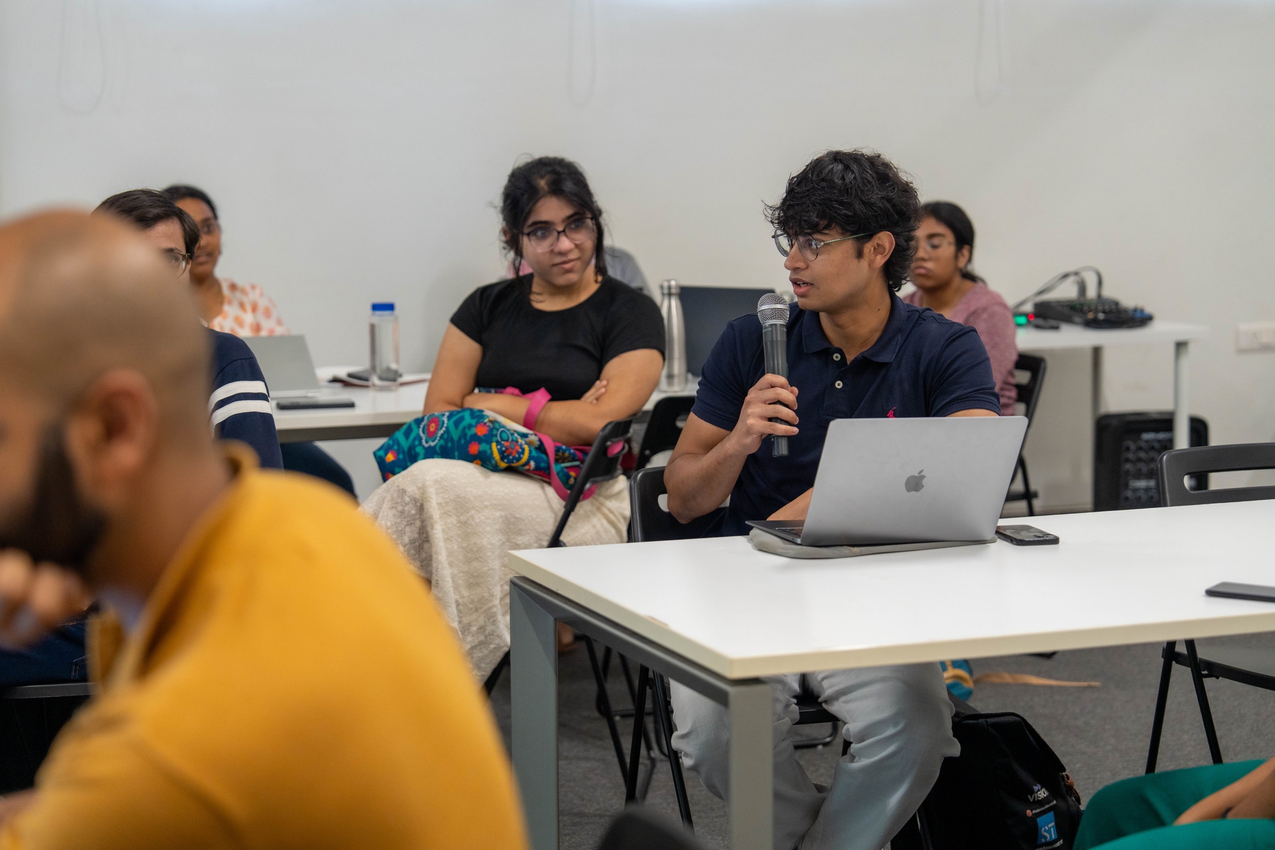
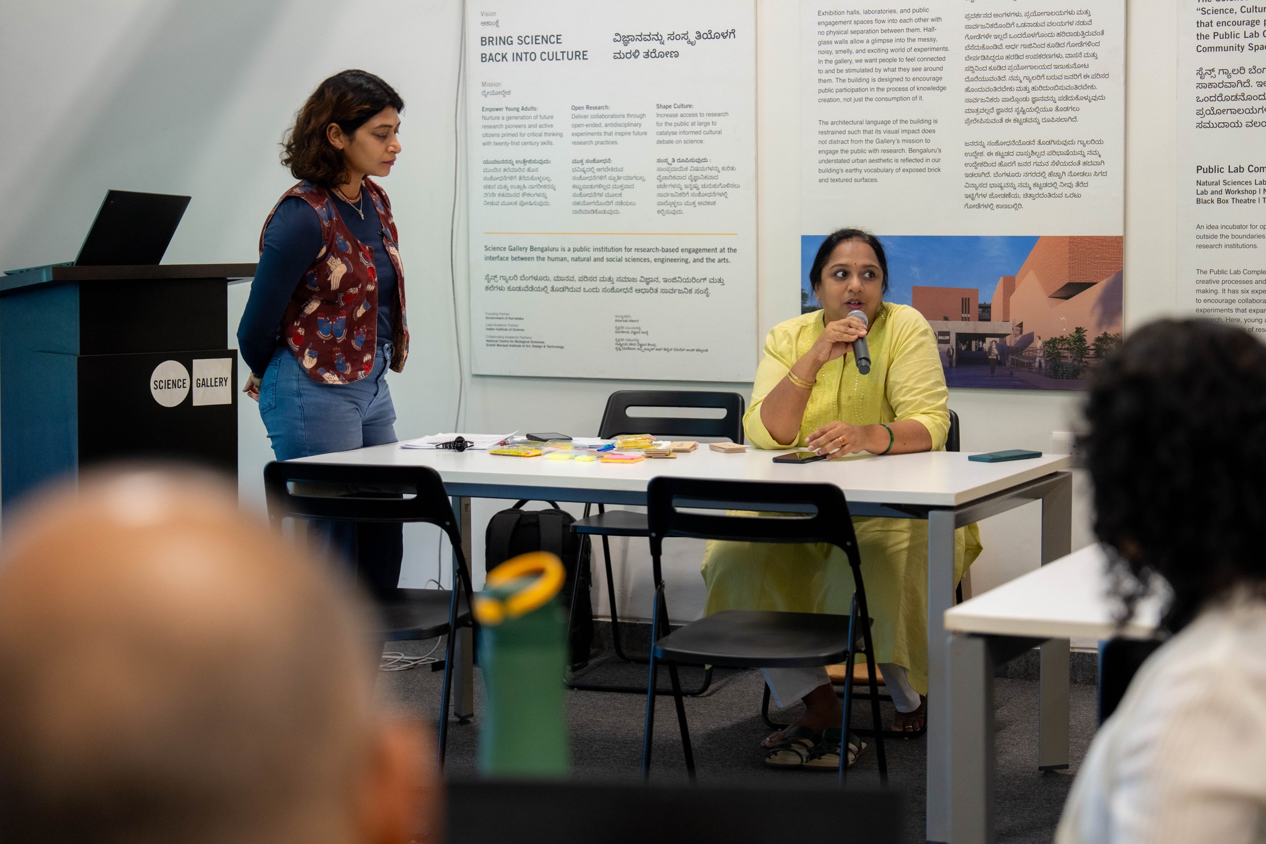
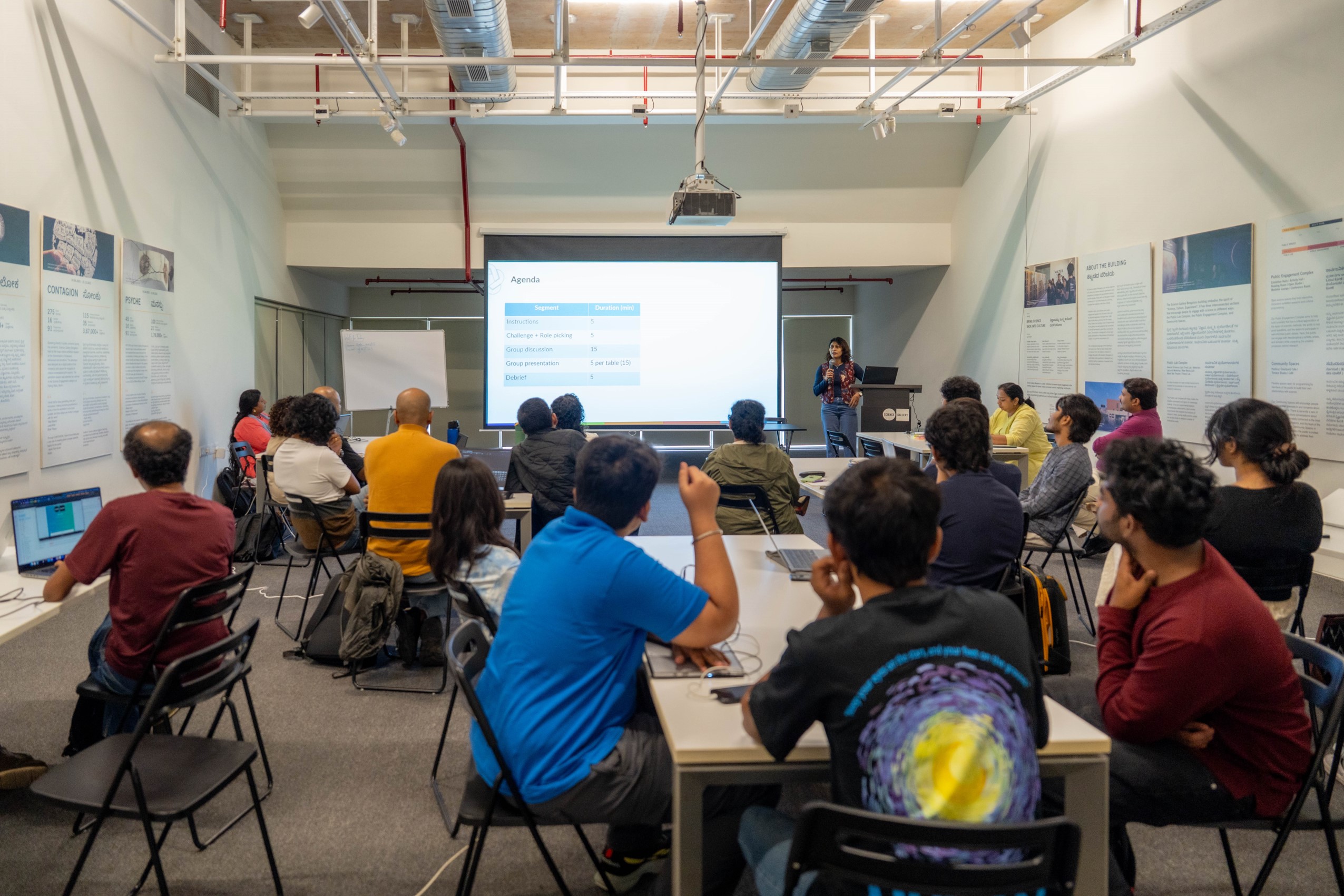
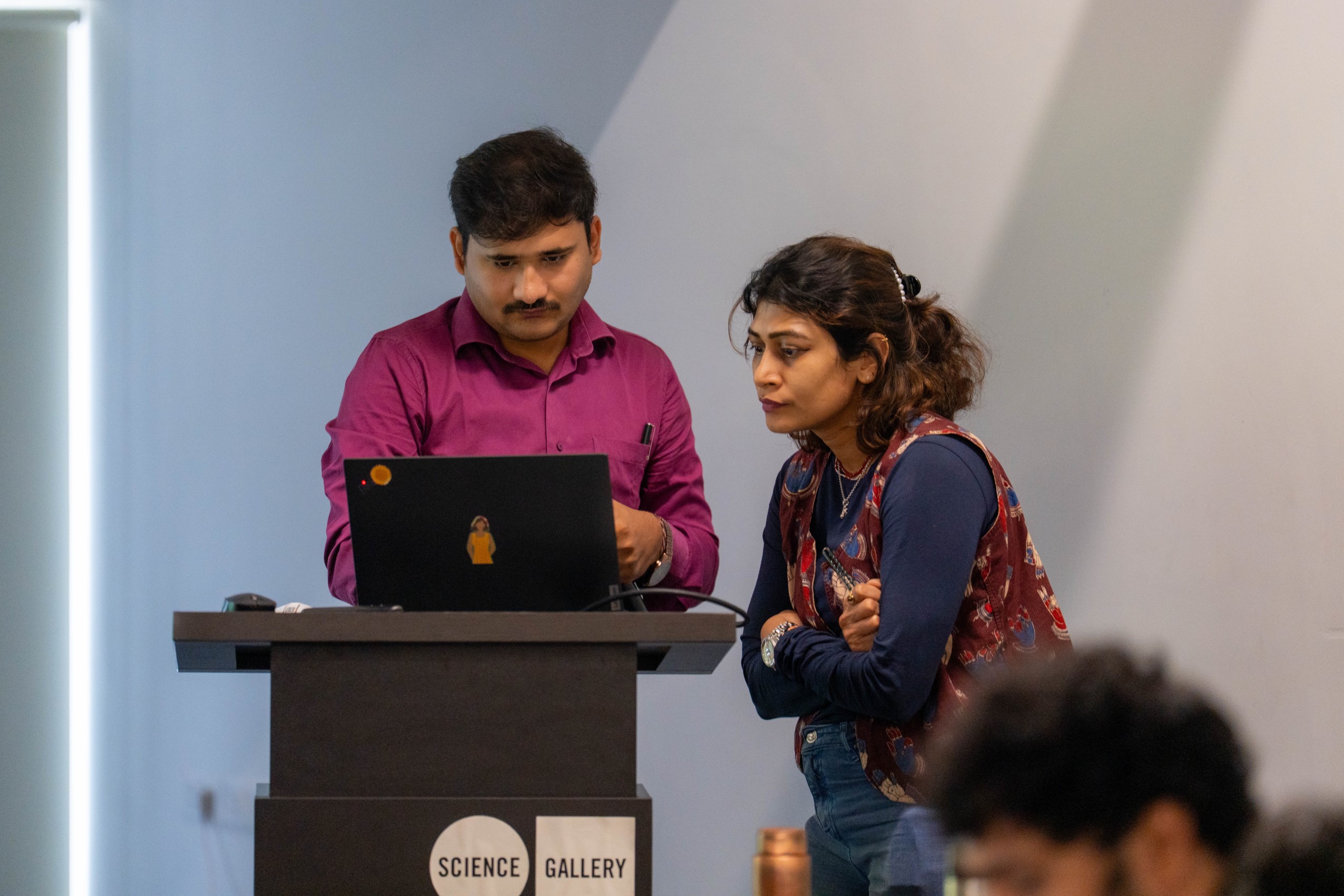
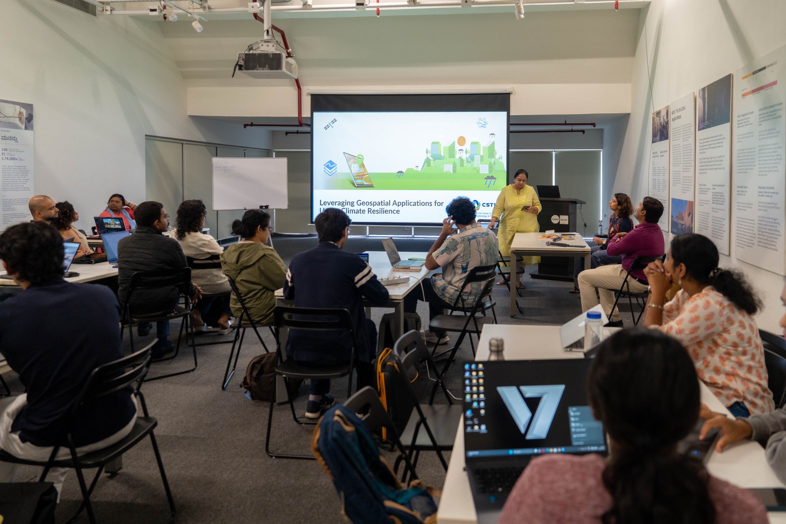
The workshop ‘Leveraging Geospatial Applications for Urban Climate Resilience: A Case of Bengaluru’ explored the intersection of urbanisation and climate variability through a geospatial lens.
days
hours
mins
sec
This is the detailed description for Event Image 1. Your backend system will manage and update this text, ensuring it's always current and specific to this picture.
Lorem ipsum dolor sit amet consectetur. Nunc habitant tellus in faucibus. In sit viverra imperdiet nunc ac nunc 1
Lorem ipsum dolor sit amet consectetur. Nunc habitant tellus in faucibus. In sit viverra imperdiet nunc ac nunc 2

Lorem ipsum dolor sit amet consectetur. Nunc habitant tellus in faucibus. In sit viverra imperdiet nunc ac nunc 3
Lorem ipsum dolor sit amet consectetur. Nunc habitant tellus in faucibus. In sit viverra imperdiet nunc ac nunc 4

Lorem ipsum dolor sit amet consectetur. Nunc habitant tellus in faucibus. In sit viverra imperdiet nunc ac nunc 5
Lorem ipsum dolor sit amet consectetur. Nunc habitant tellus in faucibus. In sit viverra imperdiet nunc ac nunc 6
Lorem ipsum dolor sit amet consectetur. Nunc habitant tellus in faucibus. In sit viverra imperdiet nunc ac nunc 7
Lorem ipsum dolor sit amet consectetur. Nunc habitant tellus in faucibus. In sit viverra imperdiet nunc ac nunc 8
Lorem ipsum dolor sit amet consectetur. Nunc habitant tellus in faucibus. In sit viverra imperdiet nunc ac nunc 9
Lorem ipsum dolor sit amet consectetur. Nunc habitant tellus in faucibus. In sit viverra imperdiet nunc ac nunc 10
Lorem ipsum dolor sit amet consectetur. Nunc habitant tellus in faucibus. In sit viverra imperdiet nunc ac nunc 9
Lorem ipsum dolor sit amet consectetur. Nunc habitant tellus in faucibus. In sit viverra imperdiet nunc ac nunc 9
Lorem ipsum dolor sit amet consectetur. Nunc habitant tellus in faucibus. In sit viverra imperdiet nunc ac nunc 9